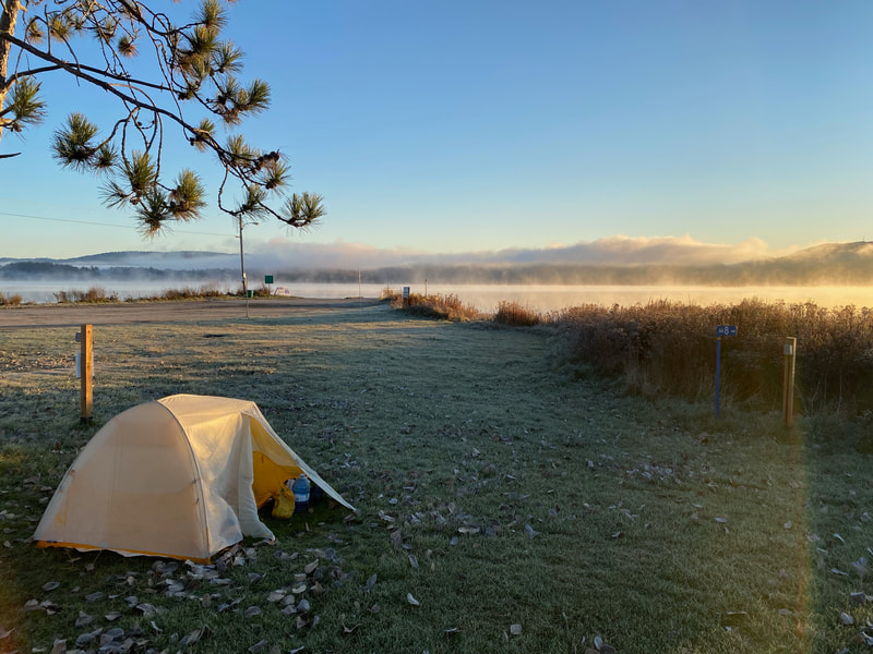
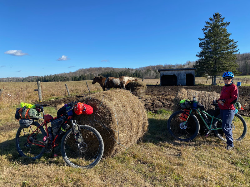
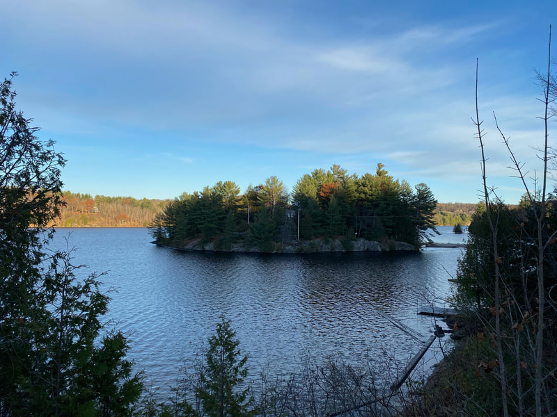
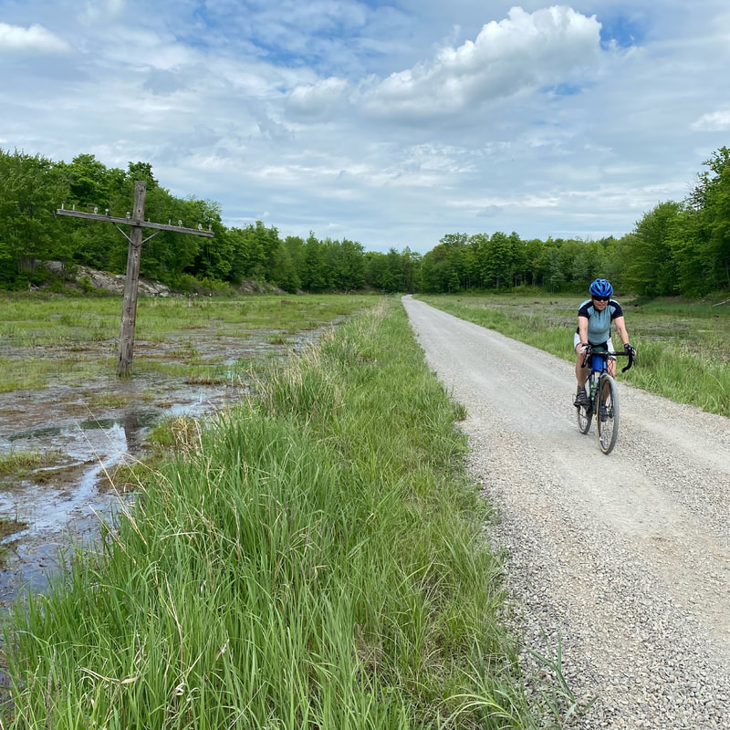
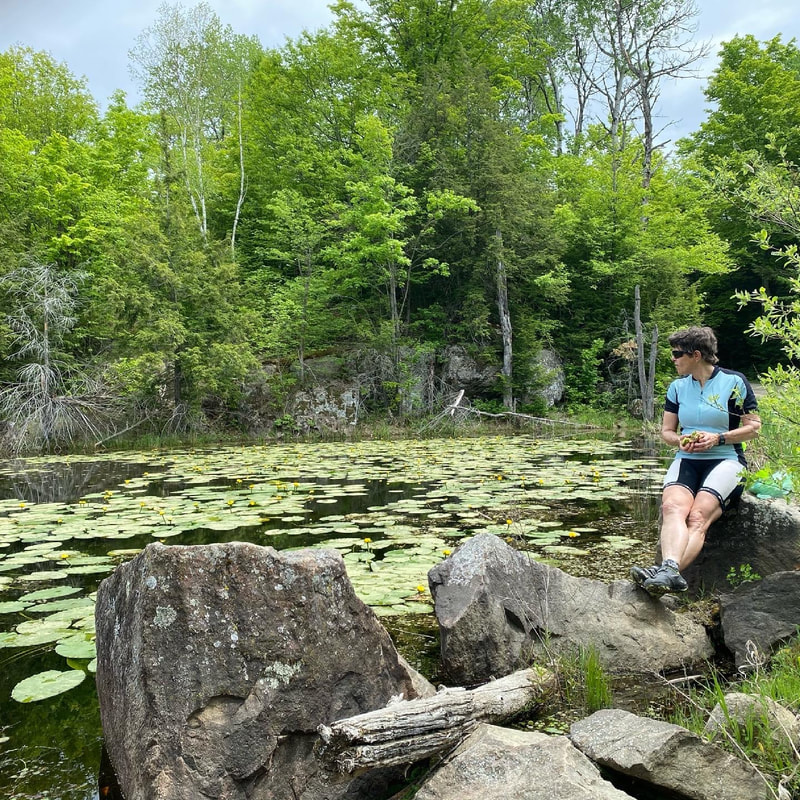
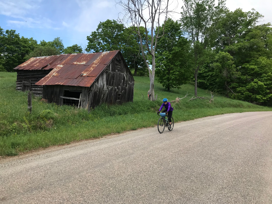
Based on the Log Driver's Waltz these routes maintain all the key features of the main route and include bonus territory that we are happy to share with you.
Scroll down to learn more about the routes on the map above.
Scroll down to learn more about the routes on the map above.
Pontiac Polka
Ottawa/OUTAOUAIS/PONTIAC COUNTY/GATINEAU VALLEY
Pontiac Polka
Recommended time: 3 Days.
With the name inspired by the yearly Oktoberfest festival held in Ladysmith, the Pontiac Polka takes the rider through the heart of the Pontiac. With a healthy amount of climbing and descending for each 100 km this descendent of the Log Driver's Waltz this route delivers some great views and stopping places.
Starting in Ottawa the route heads west along the Ottawa River on recreational pathways and a variety of quieter roads. The historic Old Carp Road quickly gets you out of suburbia and into farmland. It is about 30 km to the town of Carp and it if it’s it too early for coffee Alice’s Country Cafe is a favourite of cyclists and locals alike. From Carp you will travel on a mix of surfaces, including the locally revered Old Coach Road, to get to the Quyon Ferry. Quyon is the last stop for food and drink before Ladysmith so take the time to top up if you need. There is a water tap in the field just across from the dépanneur. Zig-zagging north from the Ottawa River through farm and cottage-country the gentle elevation gain rewards riders who over their shoulder with bucolic views. At 110 km into the ride Ladysmith is a logical stop for the end of the first day.
Swinging east after Ladysmith towards Danford Lake the route takes the rider though some of the best gravel riding in the Ottawa Valley and Outaouais. After a Kuerig coffee and a sandwich in Danford Lake. At the time of writing the store was up for sale, and some days it is closed. Ride towards Kazubazua but turn left to parallel the Gatineau River as you make your way upstream to Gracefield. More food and drink options here!
Though there is a net loss in elevation between Gracefield and Lac Ste Marie it is by no means a downhill ride. This is where most riders will stop for the second night.
The route will now take you down the Martindale Road on the west side of the Gatineau River through an area settled primarily by Irish immigrants. At Low a sharp right will shoot you up the Fieldville road to higher ground. A few dipsy doodles on the Kallala Road, a sheep farm or two, and you will be ready for a snack or a meal at Lacelles. Check out the LaPêche General Store for amazing sandwiches!
Then is down towards the river where you will cross the Farrelton Bridge after a kilometer on highway 105 ***BE CAREFUL HERE***. Then it's up and away to arguably one of the best views in the Outaouais. This is a road not many take. Take the time to savour it. Before you know it you will be back down on River Rd and arriving in Wakefield. Food and drink opportunities abound here. Sausage rolls at the Wakefield Bakery might be one of the biggest motivators for carnivores. They have delectable sweets and vegetarian savouries as well.
Leave Wakefield and ride south along the river. If it seems too easy it is, because just a bit out of town you will turn right and climb a steep hill to Chemin Crosslink. The reward is another covered bridge as you ride along the border of the Gatineau Park on a quiet gravel road. A couple of kms later you will be back near the river and the route will follow the path of the old Wakefield steam train. You’ll swing through the bustling village of Old Chelsea after which bike lanes and recreational pathways will take you from the Gatineau Park to Parliament Hill. The Ottawa River will force a turn to the left and soon you will be gazing on the Parliament Buildings, the Museum of History and the National Art Gallery. After crossing the Ottawa River you will ride along and across the Rideau Canal (a UNESCO World Heritage Site) before once again pointing your bicycle upstream. A bit of river pathway will take you back to your starting point near the Champlain Bridge.
L'eggs route
(lanark erratics gravel and glaciers route)
L'EGGs Route
This is the shorter route option for the annual Grand Depart.
In the height of the last ice age Lanark County was covered by a glacier two kilometers in thickness. When the glaciers melted away they left many reminders of their presence including large boulders, or glacial erratics, randomly distributed around the countryside. Keep your eye out for them as well as sand and gravel deposits and mining on your perambulations as you follow the Erratics Route.
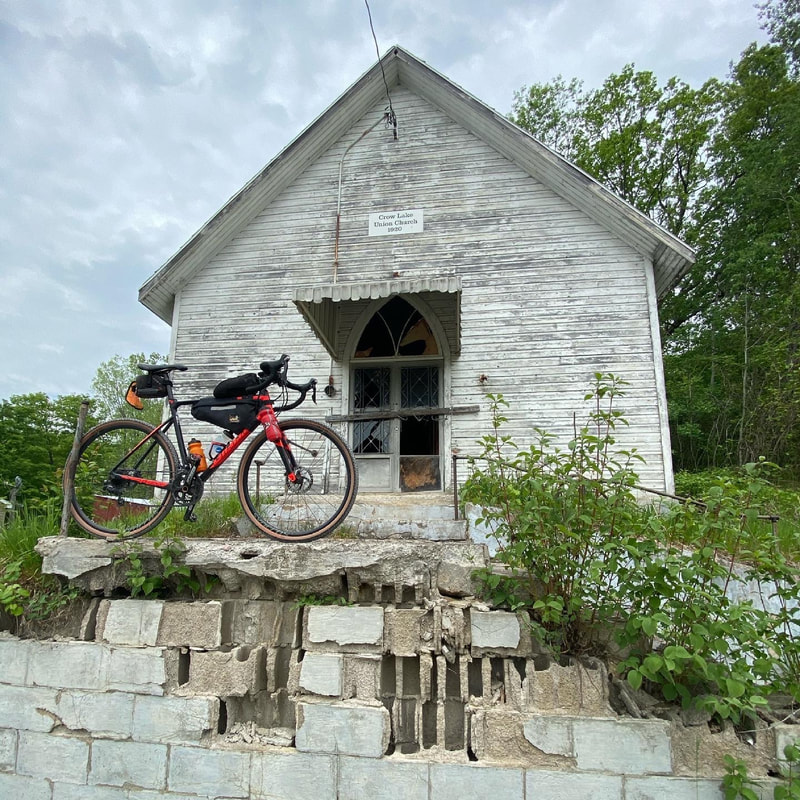
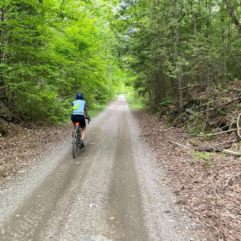
Located in the Lanark Highlands of the Ottawa Valley the Erratics Route starts and finishes in Carleton Place, Ontario. The communities of Ashton, Perth, Sharbot Lake, MacDonald’s Corners, Lanark and Almonte provide options for food and lodging along the way. With a little over half the elevation gain the Erratics Route is a mellower ride than its energetic cousin the Sugar Bush Stomp . Swinging east after Carleton Place it passes Ashton and its microbrewery, and takes the rider south of Hwy 7. Following country roads, including a deek to hook onto fabulous Gillies Sideroad with its radar dome, the route curves west towards Perth with its beautiful Stewart Park and a good variety of food and accommodation options. There is little in the way of services between Perth and Sharbot Lake so the prudent rider will stock up before embarking on this leg of the journey.Paralleling and sometimes crossing the Tay-Havelock rail trail and the active train tracks the route climbs gently whilst following bucolic gravel roads to Crow Lake, remarkable for its abandoned church and short section of paved road. Curving around small lakes, wetlands and ridges the route has a few punchy ascents and descents as it continues generally westward before taking a short hop north on the K and P rail trail. At the point where the route turns left off the K and P to cross HWY 38 riders who wish to get to Sharbot Lake sooner can shorten the travel time to Sharbot Lake by continuing north on the rail trail.
After crossing HWY 38 riders can expect hilly gravel roads and a short section of ATV trail before rejoining the K and P just south of Sharbot Lake the halfway point of the Erratics Route. With a bed and breakfast and a motel right on the route and a provincial park nearby Sharbot Lake might be a logical place to look for overnight accommodations.
Passing under HWY 7 on the K and P Trail riders will then turn east and make their way towards MacDonald’s Corners. Mixed with a few short sections of pavement the route will follow some of the sweetest gravel roads in the Lanark Highlands including the Levant Mill Rd and Ranger Station Rd. After passing through Poland (no visa required) riders will take a short loop on the White’s Cemetery Rd for a bit of “unmaintained” experience before heading almost due south to Lanark where a variety of roadside food is available. A look at the map here will remind the rider that there are no stores between Lanark and Almonte. Bring some food and top up your water bottles before leaving. You will want to keep your energy levels up and be in good spirits to enjoy the ride, including the rollers on California and Bellamy roads.
Almost home, you can find refreshments from ice cream and coffee to beer and burgers in Almonte. Follow a section of the classic Old Perth Road, a jog on Concession Rd 4A and finally Quarry Road into Carleton Place. If you are peckish this is a fine place to take advantage of the many purveyors of victuals and beverages, perhaps overlooking the Mississippi River.
Safety Note: There are several “uncontrolled” railway crossings on this route. Always check carefully before crossing.
Name suggestion: Kathy Tang. Thanks, Kathy!
sugar Bush Stomp Route
Lanark County/Ottawa Valley
Sugar Bush Stomp
Faster loading map for navigation can be found here.
The Sugar Bush Stomp starts out in a mellow manner on the well maintained roads and rail trail between Almonte and Carleton Place. There is a short section of unmaintained road just before Carleton Place as an appetizer, but the main course will not be served until you have had snacks in Almonte, Carleton Place and Perth, all of which have good eating establishments, cafes and breweries. After these three towns you will need to plan your refreshments a bit more carefully as the services are more spread out on the rest of the route.
Looking at the profile of the route you can’t help but notice that the larger towns are in the first 70 km. This is the most populous portion of the route and so you can expect to find more pavement. At some point later on your trip you might look back fondly at the gentle start, as after you leave Perth the terrain soon kicks up. A harbinger of what is to come, you will hit two sections of unmaintained roadway before a short section on the MacDonald Corners Road which can have more and faster moving traffic, so take care. As you turn off onto the Bathurst Line it quickly becomes apparent that you have left the tarmac behind you for a longish while. Be prepared for some areas of overflow during wet times of the year.
As you go along, keep your eyes peeled for old split rail and stone fences marking the edges of long forgotten fields. There are farmsteads to be seen, some merely the foundations, others in various states of disrepair. For contrast there are often renovated well manicured properties restored to their former glory and then some, seemingly in the middle of nowhere.
Signs of the maple syrup industry, for which Lanark County is renowned, are abundant. Modern technology involves blue plastic tubing feeding sap into large stainless steel holding tanks or drums. Sugar shacks with their distinctive cupolas for letting out the steam abound. Everywhere you will see woodpiles. Split cord wood neatly stacked or in conical piles. Saw logs piled by the side of the road from the previous winter waiting for pick up. Wood still has a vital role in the production of syrup and the heating of homes where the supply is plentiful.
If you are planning to wild camp along the way there are several places where you can do so on crown land. Just remember to “leave no trace”. In North Frontenac Highlands you must reserve a site in advance, but the benefit is that you will know it is there waiting for you at the end of day. Of course there are commercial campgrounds, BnBs, motels and inns so you can choose the accommodation that best suits your needs and style.
Lovers craft beer will be happy to see both the Calabogie and Cartwright Springs breweries along the route. You may miss the latter if you blink, even on a bike, so note its location carefully. From Calabogie to the end there is no resupply directly on the route. A detour to Burnstown will bring you to two cafes and a chip stand. Another one to White Lake will yield a corner store. Note the Calabogie Road can be busy with cars, trucks and boat trailers, so unless it is absolutely necessary try to avoid it. The is one short unavoidable stretch which is clearly marked on the map.
After the Burnstown Road expect to find some chunky unmaintained sections, some of it the worse for ATV wear and tear. You will also have some spectacular views over the Ottawa Valley towards the Eardley Escarpment. A sweet bonus of the route is Pakenham where you can have an ice cream while checking out the Five Arches Stone Bridge. Enjoy the mixture of rail-trail, gravel and pavement on the last segment into Almonte where you may wish to replenish your energy before heading for home.
Recommended tire size for a loaded bikepacking is 2.1 or 50c.
Note that cell phone service is not available on all parts of the route.
Loop des Loups Route
Outaouais/Pontiac County/Gatineau valley
"Loop des Loups" Bikepacking Route
For faster loading onto your device see map without Points of Interest here.
(Français en bas.)
This 335 km route, based on the Outaouais portion of Log Driver’s Waltz Bikepacking Route, allows riders to immerse themselves in the distinct culture and landscape of western Quebec. With over 1000 metres of climbing per 100 km the route is challenging, but the rewards are great. Many riders will take a weekend and tack on an extra day or two to make a long weekend of it, while others will look at this as a two day challenge and suffer accordingly. Bikes with two inch or 50c tires are recommended.
Starting in Shawville the route takes advantage of the scenic PPJ Railtrail paralleling the Ottawa River. After this mellow warm up a sharp right turn at Vinton will turn you inland towards the centre of the Pontiac. A steep climb or two and a section of unmaintained road are between you and Ladysmith where a resupply may be in order.
Rolling hills will be the trademark of the route until you reach the Veloroute des Draveurs where the grade will flatten out and allow you to make good time if you so desire. Gracefield will provide some much needed sustenance and has a bike shop for minor repairs. Cross the Gatineau for the first time here and get prepared for some punchy climbs as you head downstream towards Lac Ste Marie. Boasting a campground and some awesome shawarma by the lake, this village can feel like Shangri-la if the conditions are right. Eat up and rest well because Mont Ste Marie and the legendary Trans Outaouais climb are just around the corner. Be sure to stop at the top and look back to savour the elevation that you have gained and are about to shed in the next descent. Not to be outdone the Paugan Rd. will complete the climbing trifecta about 30 km later just before the dam at Low. Riding down one side of the Gatineau Valley and up the other is a theme you’ll repeat at Farrelton and then at Wakefield. Sheep farms, horses, market gardens all contribute to the rich valley views and roadside scenery.
Ah, Wakefield. The historic covered bridge,food and drink await you here. If you are camping in the Gatineau Park buy supper at the General Store as it has the best selection.
The park trails have a tranquil feel for the first bit but do pay attention after turning off the short section of paved road as they are not without surprises! One non-technical surprise, however, is the viewpoint near km 280. Take a moment to wheel your bike up to the top and look out over what was once the Champlain Sea. From there you can see the valley floor where you will soon be riding upstream towards Quyon and beyond that Shawville. Note that there are only two stores between the Gatineau Park and the end of the route so plan accordingly.
The final leg of the trip takes you past the massive slag heaps at the Bristol Iron Mines, some sugarbush forest and then through rich farmland along the river. Several restaurants will be able to provide hearty fare if you have developed an appetite over the course of your ride.
Route Bikepacking "Loop des Loups"
Pour un chargement plus rapide sur votre appareil, voir la carte sans les points d'intérêt ici.
Cet itinéraire de 335 km, basé sur la partie Outaouais de la Route Bikepacking Log Driver's Waltz, permet aux cyclistes de s'immerger dans la culture et les paysages distincts de l'ouest du Québec. Avec plus de 1000 mètres de dénivelé par 100 km, l'itinéraire est difficile, mais les récompenses sont grandes. De nombreux cyclistes prennent un week-end et ajoutent un jour ou deux pour en faire un long week-end, tandis que d'autres considèrent qu'il s'agit d'un défi de deux jours et souffrent en conséquence. Les vélos avec des pneus de deux pouces ou 50c sont recommandés.
Partant de Shawville, l'itinéraire emprunte le pittoresque chemin de fer PPJ qui longe la rivière des Outaouais. Après cet échauffement en douceur, un virage serré à droite à Vinton vous mènera à l'intérieur des terres vers le centre du Pontiac. Une ou deux montées abruptes et une section de route non entretenue vous séparent de Ladysmith, où un réapprovisionnement pourrait être nécessaire.
Les collines seront la marque de fabrique de la route jusqu'à ce que vous atteigniez la Véloroute des Draveurs où la pente s'aplanira et vous permettra de faire un bon temps si vous le désirez. Gracefield vous fournira la nourriture dont vous avez besoin et possède un magasin de vélo pour les réparations mineures.Vous traverserez la rivière Gatineau pour la première fois ici et vous vous préparerez à des montées vigoureuses en descendant vers le Lac Ste-Marie. Avec son terrain de camping et son excellent shawarma au bord du lac, ce village peut ressembler à Shangri-La si les conditions sont bonnes. Mangez bien et reposez-vous bien car le Mont Sainte-Marie et la légendaire montée de la Trans-Outaouais ne sont pas loin.N'oubliez pas de vous arrêter au sommet et de regarder en arrière pour savourer l'altitude que vous avez gagnée et que vous êtes sur le point de perdre dans la prochaine descente. Le chemin Paugan complétera la triple ascension environ 30 km plus tard, juste avant le barrage de Low. Descendre d'un côté de la vallée de la Gatineau et remonter de l'autre est un thème que vous retrouverez à Farrelton puis à Wakefield. Les fermes d'élevage de moutons, les chevaux, les jardins maraîchers contribuent tous à la richesse des vues sur la vallée et des paysages en bordure de route.
Ah, Wakefield! Le pont couvert historique, la nourriture et les boissons vous attendent ici. Si vous campez dans le parc de la Gatineau, achetez votre souper au magasin général, qui offre le meilleur choix.
Les sentiers du parc sont tranquilles au début, mais faites attention après avoir quitté la courte section de route pavée, car ils ne sont pas sans surprises ! Une surprise non technique, cependant, est le point de vue près du km 280. Prenez le temps de rouler sur votre vélo jusqu'au sommet et regardez ce qui était autrefois la mer de Champlain. De là, vous pouvez voir le fond de la vallée où vous allez bientôt remonter vers Quyon et, au-delà, vers Shawville. Notez qu'il n'y a que deux magasins entre le parc de la Gatineau et la fin de l'itinéraire, alors planifiez en conséquence.
La dernière partie du trajet vous fera passer devant les énormes terrils des mines de fer de Bristol, une forêt d'érables à sucre, puis de riches terres agricoles le long de la rivière. À Shawville, plusieurs restaurants pourront vous offrir des plats copieux si vous avez développé un appétit au cours de votre randonnée.
If you enjoyed the Log Driver's Waltz or our other routes, please consider helping us cover the costs of developing and maintaining the route files and website. Thanks!
|
|
Please tell your friends all about your experience on the Log Driver's Waltz and encourage them to try it! Thanks!

